Text / Josephine County Water Management Improvement Study, Oregon: Savage Rapids Dam Sediment Evaluation …

Have a question about this item?

Item information.

Title
Josephine County Water Management Improvement Study, Oregon: Savage Rapids Dam Sediment Evaluation Study
Creator
U.S. Department of the Interior, Bureau of Reclamation
Date Created and/or Issued
2/1/01
Contributing Institution
UC Riverside, Library, Water Resources Collections and Archives
Collection
Clearinghouse for Dam Removal Information (CDRI)
Rights Information
Copyrighted
Transmission or reproduction of materials protected by copyright beyond that allowed by fair use requires the written permission of the copyright owners. Works not in the public domain cannot be commercially exploited without permission of the copyright owner. Responsibility for any use rests exclusively with the user.
Description
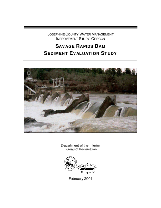
Scope/Content: Abstract: Savage Rapids Dam is located in southwestern Oregon, on the Rogue River, 5 miles upstream from the town of Grants Pass. The dam, owned by the Grants Pass Irrigation District (GPID), is 39 feet high and has been diverting irrigation flows since its construction in 1921. Fish ladders on the dam are old, do not meet current National Marine Fisheries Service (NMFS) fisheries criteria, and delay migrating fish. In addition, the fish screens on the north side of the dam do not comply with current NMFS fisheries criteria. Construction of two pumping plants to deliver irrigation water and removal of the dam are proposed to alleviate these fish passage problems. The pumping plants would be located immediately downstream from the fish ladders to enable GPID to deliver water to its patrons through the existing irrigation canals. The process leading to this proposal is documented in a planning report/final environmental statement (PR/FES) filed on August 30, 1995. The PR/FES focused only on salmon and steelhead passage concerns at the dam and associated diversion facilities. The Bureau of Reclamation planned to do a detailed sediment study as part of predesign activities if the Congress approved removal of the dam and provided the necessary funding. However, a number of interested government and private entities agreed that the sediment study should begin before the predesign activities in order to expedite approval from the Congress. These entities assisted in acquiring Federal funding for this sediment evaluation study. The purpose of this study was to determine the potential sediment-related impacts associated with removing the dam. Specific information that was developed included the following: - An estimate of volume of sediment behind Savage Rapids Dam - The particle size gradation and spatial distribution of reservoir sediment - The chemical composition of the reservoir sediment - The rate at which the reservoir sediment would erode following dam removal - The expected rate at which eroded reservoir sediment would be transported downstream - The location and magnitude of sediment deposition downstream from the dam
Scope/Content: Height: 39
Scope/Content: Date constructed: 1921.
Type
text
Form/Genre
digital copy
Identifier
ark:/86086/n2bk1c0v
513
Subject
Sediment and channel dynamics
Dams
Dam retirement
Place
Rogue River, OR
Savage Rapids Diversion Dam
United States

About the collections in Calisphere

Learn more about the collections in Calisphere. View our statement on digital primary resources.

Copyright, permissions, and use

If you're wondering about permissions and what you can do with this item, a good starting point is the "rights information" on this page. See our terms of use for more tips.

Share your story

Has Calisphere helped you advance your research, complete a project, or find something meaningful? We'd love to hear about it; please send us a message.

Explore related content on Calisphere: